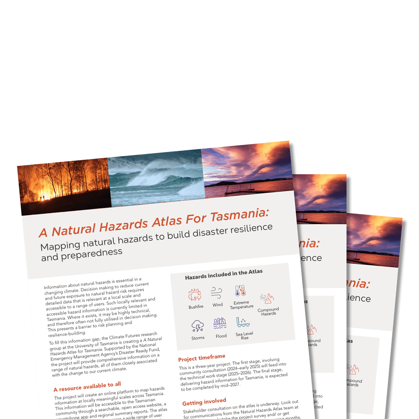
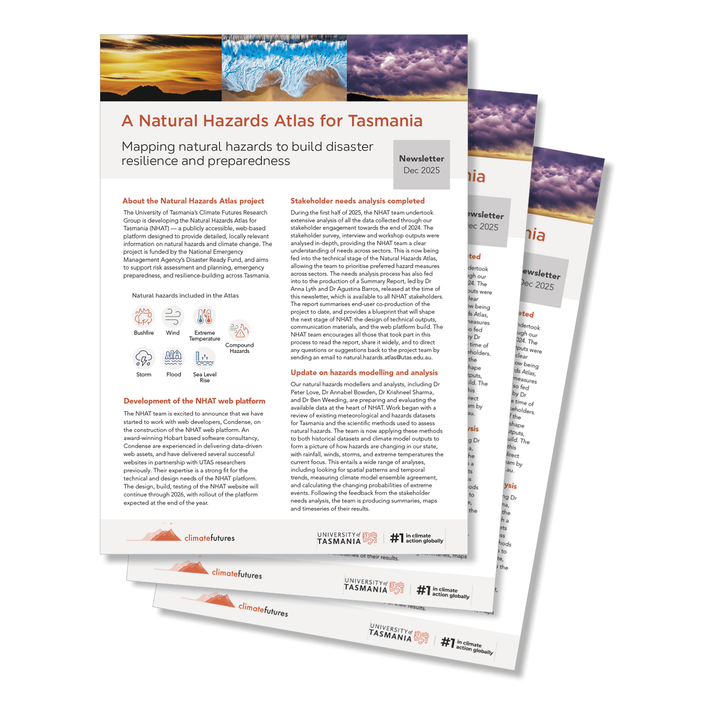
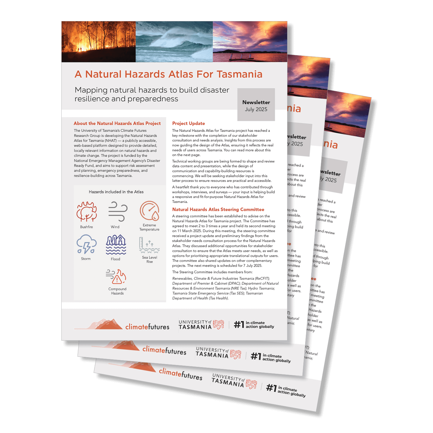
Mapping natural hazards to build disaster resilience and preparedness
ABOUT
Meeting a critical need
Hazards driven by climate change are becoming increasingly damaging and costly. Accessible, locally relevant hazards information is essential for building hazard preparedness and resilience.
The Natural Hazards Atlas for Tasmania is doing just that – by working to deliver high quality data and interpretation on the climate-driven hazards Tasmania faces, now and into the future. The project team at the University of Tasmania has consulted widely with potential atlas users to understand their needs. Responding to their input, work on building the atlas is now underway.
The Natural Hazards Atlas for Tasmania will go live as a user-friendly, interactive hazards information portal in early 2027.
In the meantime, the project team will share project updates here.
HAZARDS
Hazards included in the atlas
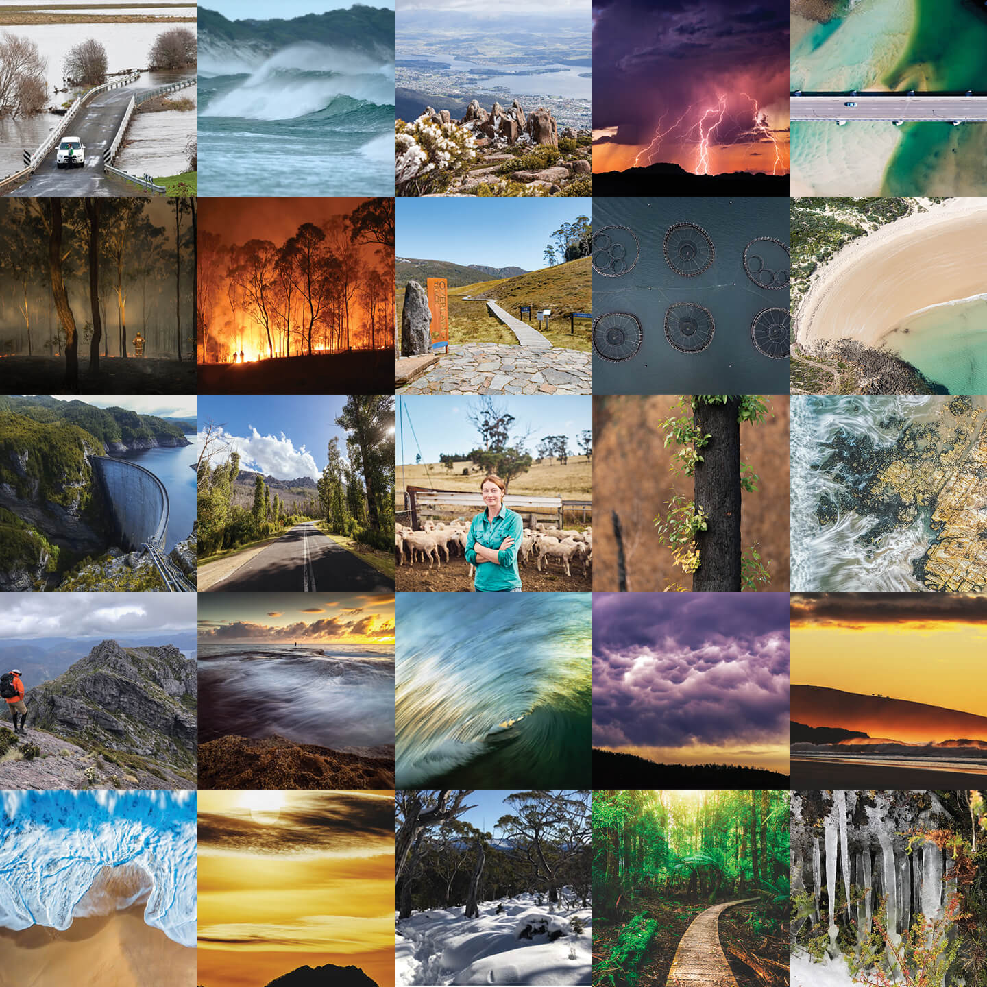
The Natural Hazards Atlas will explore climate-driven hazards across the state of Tasmania. The project will deliver information on seven types of hazards.
Bushfire
Wind
Extreme temperature
Storm
Flooding
Coastal hazards/ Sea level rise
Compound hazards
USERS
Who the atlas is for
The Natural Hazards Atlas is designed for communities, business across multiple sectors, emergency services, planners and researchers, providing tools and data to understand Tasmania’s natural hazard landscape and support safer, more resilient decision-making.
Join the NHAT mailing list to receive updates, event invitations and news related to the project.
TEAM
Project team
The project is being conducted by the team of climate scientists and science communicators at the Climate Futures research group, within the University of Tasmania.
Climate Futures brings science and science translation expertise to the challenges of planning for and adapting to climate change.
Each member of the Natural Hazards Atlas for Tasmania (NHAT) Project team brings a unique skillset, helping build an interdisciplinary approach to hazards modelling and science translation.
Associate Professor Kathleen Beyer
Director Climate Futures Chief Investigator
Dr Peter Love
Climate Research Fellow, Atmospheric Physicist
Dr Gabi Mocatta
Senior Research Fellow in Climate Science Communication
Dr Anna Lyth
Stakeholder Engagement & Strategic Research Coordinator
Dr Kathy Allen
Palaeoclimatologist
Dr Ben Weeding
Associate Climate Researcher in Natural Hazards/Biosecurity Research
Dr Krishneel Sharma
Research Fellow in Natural Hazards / Climate Science
Dr Agustina Barros
Research Associate in Natural Hazards Communication
Dr Annabel Bowden
Research Fellow in Natural Hazards / Climate Science
TEAM
Project team
The project is being conducted by the team of climate scientists and science communicators at the Climate Futures research group, within the University of Tasmania.
Climate Futures brings science and science translation expertise to the challenges of planning for and adapting to climate change.
Each member of the Natural Hazards Atlas for Tasmania (NHAT) Project team brings a unique skillset, helping build an interdisciplinary approach to hazards modelling and science translation.
Associate Professor Kathleen Beyer Director Climate Futures Chief Investigator
Dr Peter Love
Climate Research Fellow, Atmospheric Physicist
Dr Gabi Mocatta
Senior Research Fellow in Climate Science Communication
Dr Anna Lyth
Stakeholder Engagement & Strategic Research Coordinator
Dr Kathy Allen
Palaeoclimatologist
Dr Ben Weeding
Associate Climate Researcher in Natural Hazards/Biosecurity Research
Dr Krishneel Sharma
Associate Climate Researcher and Climate Research Fellow in Natural Hazards Research/Climate Science
Dr Agustina Barros
Research Associate in Natural Hazards Communication
Dr Annabel Bowden
Associate Climate Researcher and Climate Research Fellow in Natural Hazards Research/Climate Science